
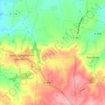
Saint-Symphorien-des-Monts topographic map
Interactive map
Click on the map to display elevation.
About this map
Name: Saint-Symphorien-des-Monts topographic map, elevation, terrain.
Average elevation: 169 m
Minimum elevation: 106 m
Maximum elevation: 239 m
Other topographic maps
Click on a map to view its topography, its elevation and its terrain.
Buais
France > Normandie > Manche > Buais-Les-Monts
Buais, Buais-Les-Monts, Avranches, Manche, Normandie, France métropolitaine, 50640, France
Average elevation: 191 m