
Ain Lechiakh topographic map
Interactive map
Click on the map to display elevation.
About this map
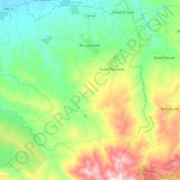
Name: Ain Lechiakh topographic map, elevation, terrain.
Location: Ain Lechiakh, Ain Lachiakh District, Aïn Defla, Algeria (36.05103 2.31173 36.19275 2.46357)
Average elevation: 557 m
Minimum elevation: 305 m
Maximum elevation: 1,063 m