
Henderson topographic map
Interactive map
Click on the map to display elevation.
About this map
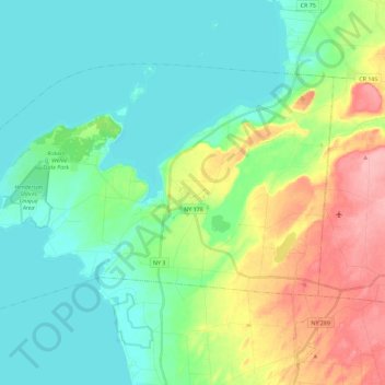
Name: Henderson topographic map, elevation, terrain.
Location: Henderson, Jefferson County, New York, United States (43.79718 -76.32676 43.90798 -76.09801)
Average elevation: 101 m
Minimum elevation: 70 m
Maximum elevation: 178 m