
Mt. Airy topographic map
Interactive map
Click on the map to display elevation.
About this map
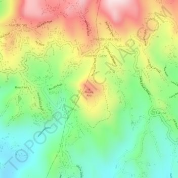
Name: Mt. Airy topographic map, elevation, terrain.
Location: Mt. Airy, Perdmontemps, Saint David, 1473, Grenada (12.04275 -61.70997 12.04285 -61.70987)
Average elevation: 196 m
Minimum elevation: 28 m
Maximum elevation: 397 m