
Romita topographic map
Interactive map
Click on the map to display elevation.
About this map
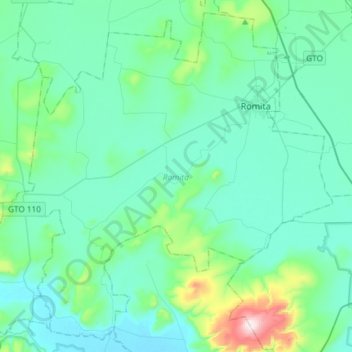
Name: Romita topographic map, elevation, terrain.
Location: Romita, Guanajuato, Mexico (20.68743 -101.74796 20.94435 -101.45264)
Average elevation: 1,790 m
Minimum elevation: 1,697 m
Maximum elevation: 2,346 m