Geolocate

Barnsole topographic map

Click on the map to display elevation.

About this map

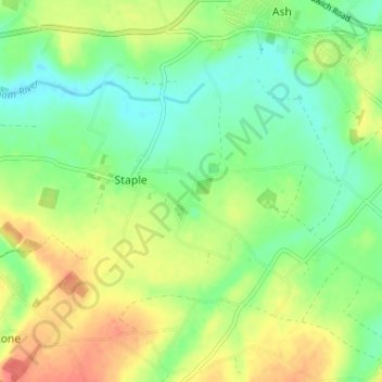
Name: Barnsole topographic map, elevation, terrain.

Location: Barnsole, Staple, Dover, Kent, England, CT3 1LE, United Kingdom (51.24221 1.24517 51.28221 1.28517)

Average elevation: 24 m

Minimum elevation: 2 m

Maximum elevation: 55 m

Kent trails, hiking, mountain biking, running and outdoor activities

Gear up for your next adventure:

Lightweight Tents - Compact tents for backpacking and trekking
📦Dry Bags - Waterproof bags to protect gear from rain
🔦Head Torches - Hands-free lighting for hiking and camping
🥤Collapsible Water Bottles - Save space in your rucksack as you consume your water
🔭Compact Hiking Binoculars - Lightweight optics for scouting terrain and spotting wildlife

As an Amazon Associate, this site earns from qualifying purchases at no extra cost to you.