
Liebistorf topographic map
Interactive map
Click on the map to display elevation.
About this map
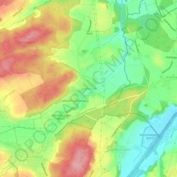
Name: Liebistorf topographic map, elevation, terrain.
Location: Liebistorf, Gurmels, See District, Fribourg, 3213, Switzerland (46.88820 7.17416 46.92820 7.21416)
Average elevation: 544 m
Minimum elevation: 485 m
Maximum elevation: 610 m