
Hool topographic map
Interactive map
Click on the map to display elevation.
About this map
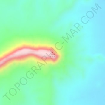
Name: Hool topographic map, elevation, terrain.
Location: Hool, Beled Hawo District, Gedo, Jubaland, Somalia (3.55771 41.95368 3.55781 41.95378)
Average elevation: 409 m
Minimum elevation: 334 m
Maximum elevation: 610 m