
Grondona topographic map
Interactive map
Click on the map to display elevation.
About this map
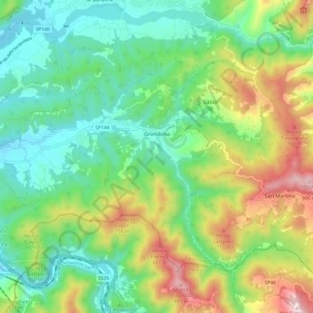
Name: Grondona topographic map, elevation, terrain.
Location: Grondona, Alessandria, Piemonte, Italia (44.66261 8.91705 44.71872 9.02683)
Average elevation: 461 m
Minimum elevation: 234 m
Maximum elevation: 921 m