
Makono topographic map
Interactive map
Click on the map to display elevation.
About this map
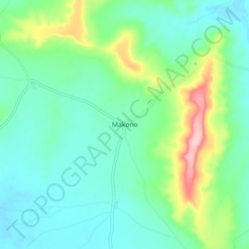
Name: Makono topographic map, elevation, terrain.
Location: Makono, Kita Cercle, Kayes, Mali (12.63804 -9.08681 12.71804 -9.00681)
Average elevation: 399 m
Minimum elevation: 353 m
Maximum elevation: 536 m
Other topographic maps
Click on a map to view its topography, its elevation and its terrain.