
Hauser Lake topographic map
Interactive map
Click on the map to display elevation.
About this map
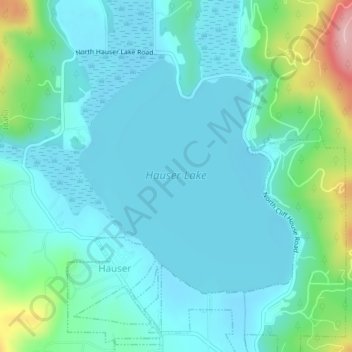
Name: Hauser Lake topographic map, elevation, terrain.
Location: Hauser Lake, Hauser, Kootenai County, Idaho, United States (47.77029 -117.03284 47.78828 -117.00805)
Average elevation: 696 m
Minimum elevation: 661 m
Maximum elevation: 847 m