
Senari topographic map
Interactive map
Click on the map to display elevation.
About this map
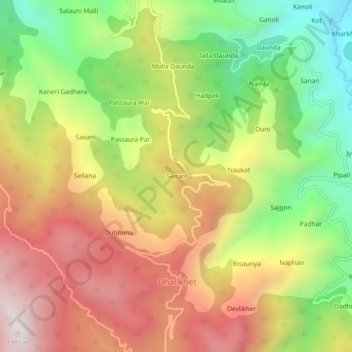
Name: Senari topographic map, elevation, terrain.
Location: Senari, Dhalikhet, Ranikhet, Almora, Uttarakhand, India (29.63453 79.32451 29.67453 79.36451)
Average elevation: 1,462 m
Minimum elevation: 945 m
Maximum elevation: 1,978 m