
Chuile topographic map
Interactive map
Click on the map to display elevation.
About this map
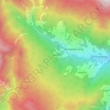
Name: Chuile topographic map, elevation, terrain.
Location: Chuile, Ghandruk, Annapurna, Kaski, Gandaki Pradesh, Nepal (28.38624 83.75658 28.42624 83.79658)
Average elevation: 2,440 m
Minimum elevation: 1,755 m
Maximum elevation: 3,156 m