
Peppermint Corner topographic map
Interactive map
Click on the map to display elevation.
About this map
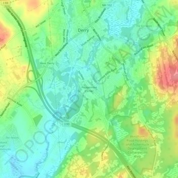
Name: Peppermint Corner topographic map, elevation, terrain.
Average elevation: 94 m
Minimum elevation: 62 m
Maximum elevation: 151 m
Other topographic maps
Click on a map to view its topography, its elevation and its terrain.
Collettes Grove
United States > New Hampshire > Rockingham County > Derry
Collettes Grove, Derry, Rockingham County, New Hampshire, 03841, United States
Average elevation: 79 m