
Eastwell topographic map
Interactive map
Click on the map to display elevation.
About this map
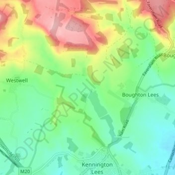
Name: Eastwell topographic map, elevation, terrain.
Location: Eastwell, Kent, South East, England, TN25 4JT, United Kingdom (51.17044 0.85319 51.21044 0.89319)
Average elevation: 93 m
Minimum elevation: 37 m
Maximum elevation: 191 m