
Rade A topographic map
Interactive map
Click on the map to display elevation.
About this map
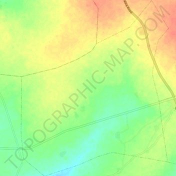
Name: Rade A topographic map, elevation, terrain.
Location: Rade A, Sandamu, Katsina, Nigeria (12.86581 8.31146 12.94254 8.37747)
Average elevation: 486 m
Minimum elevation: 462 m
Maximum elevation: 509 m