
Mississippi River Lock and Dam Number 15 topographic map
Interactive map
Click on the map to display elevation.
About this map
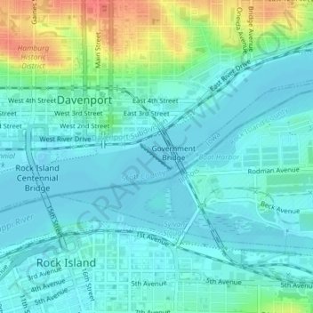
Name: Mississippi River Lock and Dam Number 15 topographic map, elevation, terrain.
Average elevation: 180 m
Minimum elevation: 167 m
Maximum elevation: 221 m