
Río Isluga topographic map
Interactive map
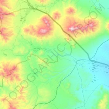
Click on the map to display elevation.
About this map
Name: Río Isluga topographic map, elevation, terrain.
Average elevation: 4,194 m
Minimum elevation: 3,668 m
Maximum elevation: 5,865 m
Other topographic maps
Click on a map to view its topography, its elevation and its terrain.
Colchane
Chile > Región de Tarapacá > Colchane
Colchane, Provincia del Tamarugal, Región de Tarapacá, Chile
Average elevation: 3,726 m