
Horstfelde topographic map
Interactive map
Click on the map to display elevation.
About this map
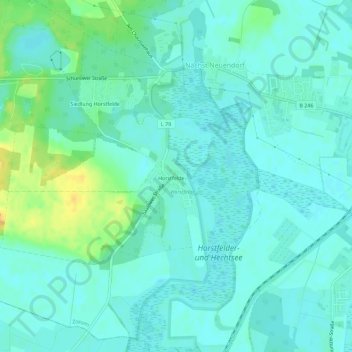
Name: Horstfelde topographic map, elevation, terrain.
Location: Horstfelde, Zossen, Teltow-Fläming, Brandenburg, Deutschland (52.19919 13.36510 52.23206 13.42198)
Average elevation: 41 m
Minimum elevation: 34 m
Maximum elevation: 61 m