
Thank you for supporting this site ❤️
Make a donation
Make a donation
Gear up for your next adventure:
As an Amazon Associate, this site earns from qualifying purchases at no extra cost to you.
Ceceler topographic map
Click on the map to display elevation.
Thank you for supporting this site ❤️
Make a donation
Make a donation
Gear up for your next adventure:
As an Amazon Associate, this site earns from qualifying purchases at no extra cost to you.
About this map
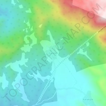
Name: Ceceler topographic map, elevation, terrain.
Location: Ceceler, Akseki, Antalya, Mediterranean Region, Turkey (37.17233 31.81976 37.21233 31.85976)
Average elevation: 1,382 m
Minimum elevation: 1,177 m
Maximum elevation: 1,967 m
Thank you for supporting this site ❤️
Make a donation
Make a donation
Gear up for your next adventure:
As an Amazon Associate, this site earns from qualifying purchases at no extra cost to you.