
Jungjang-ri topographic map
Interactive map
Click on the map to display elevation.
About this map
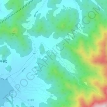
Name: Jungjang-ri topographic map, elevation, terrain.
Location: Jungjang-ri, Gongju-si, 32616, South Korea (36.35225 127.15713 36.39225 127.19713)
Average elevation: 203 m
Minimum elevation: 58 m
Maximum elevation: 722 m