
Kingsthorpe Meadow Nature Reserve topographic map
Interactive map
Click on the map to display elevation.
About this map
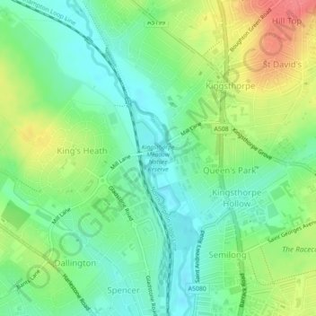
Name: Kingsthorpe Meadow Nature Reserve topographic map, elevation, terrain.
Average elevation: 82 m
Minimum elevation: 58 m
Maximum elevation: 121 m
Other topographic maps
Click on a map to view its topography, its elevation and its terrain.
West Hunsbury
United Kingdom > England > Northampton
West Hunsbury, Northampton, Northamptonshire, East Midlands, England, United Kingdom
Average elevation: 78 m