
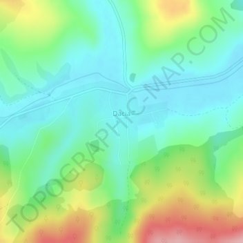
Dacia topographic map
Interactive map
Click on the map to display elevation.
About this map
Name: Dacia topographic map, elevation, terrain.
Location: Dacia, Brașov, 507111, Roménia (46.00389 25.14146 46.01275 25.15813)
Average elevation: 516 m
Minimum elevation: 465 m
Maximum elevation: 626 m