
Sig topographic map
Interactive map
Click on the map to display elevation.
About this map
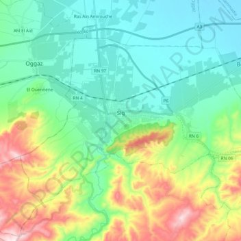
Name: Sig topographic map, elevation, terrain.
Location: Sig, Sig District, Mascara, 29300, Algeria (35.47267 -0.26995 35.57821 -0.08061)
Average elevation: 158 m
Minimum elevation: 6 m
Maximum elevation: 552 m