
Mantorp topographic map
Interactive map
Click on the map to display elevation.
About this map
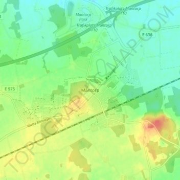
Name: Mantorp topographic map, elevation, terrain.
Location: Mantorp, Mjölby kommun, Östergötland County, 59017, Sweden (58.33431 15.26849 58.37431 15.30849)
Average elevation: 99 m
Minimum elevation: 79 m
Maximum elevation: 131 m