
Thank you for supporting this site ❤️
Make a donation
Make a donation
Gear up for your next adventure:
As an Amazon Associate, this site earns from qualifying purchases at no extra cost to you.
Puna topographic map
Click on the map to display elevation.
Thank you for supporting this site ❤️
Make a donation
Make a donation
Gear up for your next adventure:
As an Amazon Associate, this site earns from qualifying purchases at no extra cost to you.
About this map
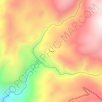
Name: Puna topographic map, elevation, terrain.
Location: Puna, Llauta, Provincia de Lucanas, Ayacucho, Perú (-14.20732 -74.89021 -14.16732 -74.85021)
Average elevation: 3,792 m
Minimum elevation: 3,152 m
Maximum elevation: 4,199 m
Thank you for supporting this site ❤️
Make a donation
Make a donation
Gear up for your next adventure:
As an Amazon Associate, this site earns from qualifying purchases at no extra cost to you.