
Ambondromifehy topographic map
Interactive map
Click on the map to display elevation.
About this map
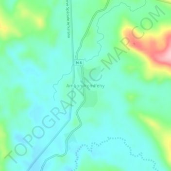
Name: Ambondromifehy topographic map, elevation, terrain.
Location: Ambondromifehy, Diana, Province d'Antsiranana, Madagascar (-12.91820 49.19250 -12.87820 49.23250)
Average elevation: 241 m
Minimum elevation: 198 m
Maximum elevation: 385 m