
Hallaton topographic map
Click on the map to display elevation.
About this map
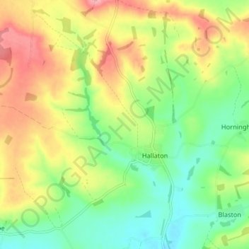
Name: Hallaton topographic map, elevation, terrain.
Location: Hallaton, Harborough, Leicestershire, England, United Kingdom (52.54541 -0.87635 52.58903 -0.81430)
Average elevation: 125 m
Minimum elevation: 74 m
Maximum elevation: 191 m
Leicestershire trails, hiking, mountain biking, running and outdoor activities