
Burham topographic map
Interactive map
Click on the map to display elevation.
About this map
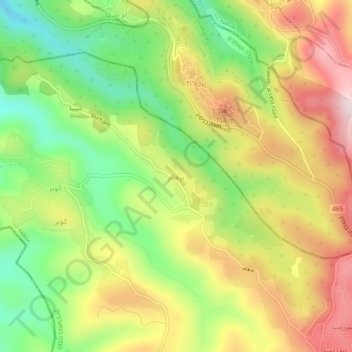
Name: Burham topographic map, elevation, terrain.
Location: Burham, Area B, West Bank, 620, Palestinian Territories (31.96990 35.15393 32.00990 35.19393)
Average elevation: 655 m
Minimum elevation: 472 m
Maximum elevation: 854 m