
Bangula topographic map
Interactive map
Click on the map to display elevation.
About this map
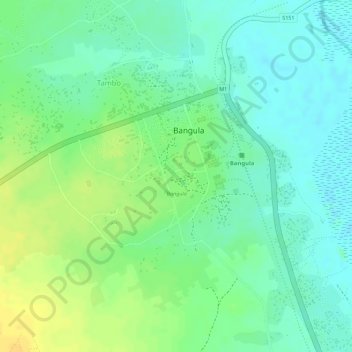
Name: Bangula topographic map, elevation, terrain.
Location: Bangula, Nsanje, Southern Region, Malawi (-16.58358 35.11409 -16.57381 35.11850)
Average elevation: 54 m
Minimum elevation: 42 m
Maximum elevation: 69 m