
Bukar topographic map
Interactive map
Click on the map to display elevation.
About this map
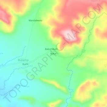
Name: Bukar topographic map, elevation, terrain.
Location: Bukar, Bulama, Grim Damchoba, Hawul, Borno State, Nigeria (10.50775 12.02158 10.54775 12.06158)
Average elevation: 542 m
Minimum elevation: 448 m
Maximum elevation: 685 m