
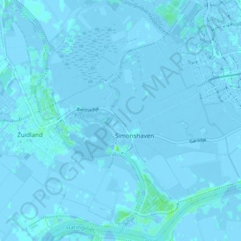
Simonshaven topographic map
Interactive map
Click on the map to display elevation.
About this map
Name: Simonshaven topographic map, elevation, terrain.
Location: Simonshaven, Nissewaard, Südholland, Niederlande (51.80211 4.26008 51.84744 4.31726)
Average elevation: 0 m
Minimum elevation: -5 m
Maximum elevation: 8 m
Other topographic maps
Click on a map to view its topography, its elevation and its terrain.
Bernisse
Niederlande > Südholland > Nissewaard
Bernisse, Nissewaard, Südholland, Niederlande, 3218 AV, Niederlande
Average elevation: 0 m
Geervliet
Niederlande > Südholland > Nissewaard
Geervliet, Nissewaard, Südholland, Niederlande
Average elevation: 0 m
Hekelingen
Niederlande > Südholland > Nissewaard
Hekelingen, Nissewaard, Südholland, Niederlande
Average elevation: 0 m