
Qatana topographic map
Interactive map
Click on the map to display elevation.
About this map
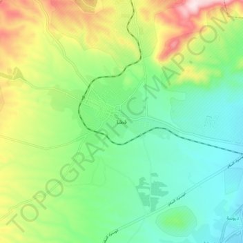
Name: Qatana topographic map, elevation, terrain.
Location: Qatana, Rif Dimashq, Syria (33.39231 36.04540 33.47231 36.12540)
Average elevation: 914 m
Minimum elevation: 780 m
Maximum elevation: 1,180 m