
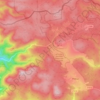
Přebuz topographic map
Interactive map
Click on the map to display elevation.
About this map
Name: Přebuz topographic map, elevation, terrain.
Location: Přebuz, Sokolov District, Karlovarský kraj, Northwest, Czechia (50.35270 12.58254 50.41412 12.65544)
Average elevation: 901 m
Minimum elevation: 664 m
Maximum elevation: 986 m