
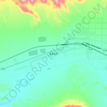
黑孜韦乡 topographic map
Interactive map
Click on the map to display elevation.
About this map
Name: 黑孜韦乡 topographic map, elevation, terrain.
Location: 黑孜韦乡, 乌恰县, 克孜勒苏柯尔克孜自治州, 新疆维吾尔自治区, 中国 (39.67196 75.14578 39.75196 75.22578)
Average elevation: 2,214 m
Minimum elevation: 2,080 m
Maximum elevation: 2,675 m