
Alzémont topographic map
Interactive map
Click on the map to display elevation.
About this map
Name: Alzémont topographic map, elevation, terrain.
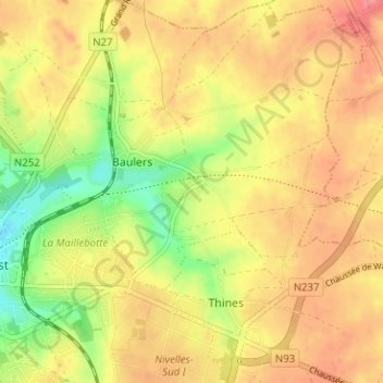
Average elevation: 139 m
Minimum elevation: 96 m
Maximum elevation: 168 m
Other topographic maps
Click on a map to view its topography, its elevation and its terrain.
Thines
Belgique > Brabant wallon > Nivelles > Nivelles
Thines, Nivelles, Brabant wallon, Wallonie, 1402, Belgique
Average elevation: 148 m
Baulers
Belgique > Brabant wallon > Nivelles > Nivelles
Baulers, Nivelles, Brabant wallon, Wallonie, 1401, Belgique
Average elevation: 136 m
Bornival
Belgique > Brabant wallon > Nivelles > Nivelles
Bornival, Nivelles, Brabant wallon, Wallonie, 1404, Belgique
Average elevation: 108 m