
East Olympia topographic map
Interactive map
Click on the map to display elevation.
About this map
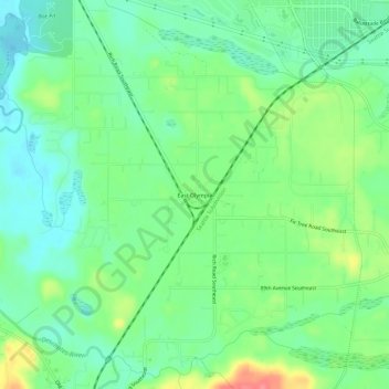
Name: East Olympia topographic map, elevation, terrain.
Location: East Olympia, Thurston County, Washington, United States (46.94752 -122.85677 46.98752 -122.81677)
Average elevation: 65 m
Minimum elevation: 39 m
Maximum elevation: 115 m