Geolocate

Frankton CP topographic map

Click on the map to display elevation.

About this map

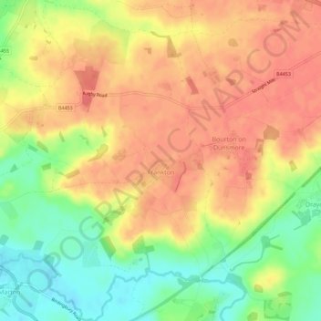
Name: Frankton CP topographic map, elevation, terrain.

Location: Frankton CP, Rugby, Warwickshire, England, United Kingdom (52.31314 -1.41639 52.34753 -1.36439)

Average elevation: 95 m

Minimum elevation: 61 m

Maximum elevation: 116 m

Warwickshire trails, hiking, mountain biking, running and outdoor activities

Gear up for your next adventure:

🧼Camping Hygiene Kits - Compact hygiene essentials for outdoor stays
🎒Hiking Backpacks - Comfortable backpacks for day hikes and multi-day treks
🧺Microfibre Travel Towels - Fast-drying and compact towels for wild swimming and camping
📢Survival Whistles - Essential safety gear for signaling for help in mountain fog
🛰️Outdoor GPS Navigation - Navigation devices for remote and off-grid areas

As an Amazon Associate, this site earns from qualifying purchases at no extra cost to you.