Geolocate

Atizapán topographic map

Click on the map to display elevation.

About this map

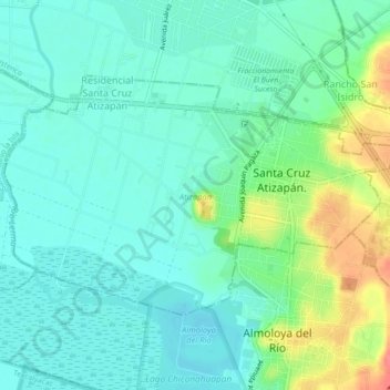
Name: Atizapán topographic map, elevation, terrain.

Location: Atizapán, State of Mexico, Mexico (19.16224 -99.51941 19.18779 -99.47544)

Average elevation: 2,582 m

Minimum elevation: 2,564 m

Maximum elevation: 2,630 m

Gear up for your next adventure:

🎒Hiking Daypacks (20L) - Compact backpacks for day trips and technical mountain ascents
🧰First Aid Kits - Essential safety kits for outdoor activities
🥤Hydration Bladders - Hands-free hydration systems for backpacks
🧷Tenacious Repair Tape - Instant fix for torn tents, jackets, or dry bags
🧺Mesh Stuff Sacks - Breathable storage for wet gear or camp organization

As an Amazon Associate, this site earns from qualifying purchases at no extra cost to you.