
Thank you for supporting this site ❤️
Make a donation
Make a donation
Gear up for your next adventure:
As an Amazon Associate, this site earns from qualifying purchases at no extra cost to you.
Lewa topographic map
Click on the map to display elevation.
Thank you for supporting this site ❤️
Make a donation
Make a donation
Gear up for your next adventure:
As an Amazon Associate, this site earns from qualifying purchases at no extra cost to you.
About this map
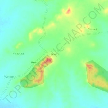
Name: Lewa topographic map, elevation, terrain.
Location: Lewa, Kolaras Tahsil, Shivpuri district, Madhya Pradesh, India (25.17072 77.43691 25.21072 77.47691)
Average elevation: 446 m
Minimum elevation: 425 m
Maximum elevation: 489 m
Thank you for supporting this site ❤️
Make a donation
Make a donation
Gear up for your next adventure:
As an Amazon Associate, this site earns from qualifying purchases at no extra cost to you.