
Kelela topographic map
Interactive map
Click on the map to display elevation.
About this map
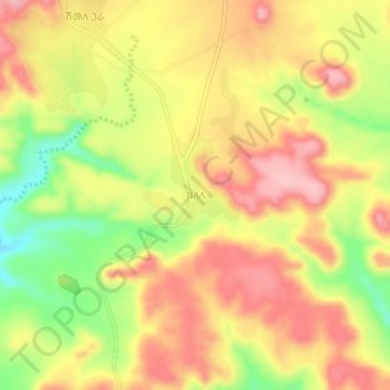
Name: Kelela topographic map, elevation, terrain.
Location: Kelela, Nord Gondar, Amhara, Éthiopie (13.06235 36.24554 13.10235 36.28554)
Average elevation: 870 m
Minimum elevation: 775 m
Maximum elevation: 939 m