
Nandigaon topographic map
Interactive map
Click on the map to display elevation.
About this map
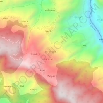
Name: Nandigaon topographic map, elevation, terrain.
Location: Nandigaon, Bageshwar, Uttarakhand, India (29.72623 79.78992 29.76623 79.82992)
Average elevation: 1,375 m
Minimum elevation: 764 m
Maximum elevation: 1,852 m