
盆地边2 topographic map
Interactive map
Click on the map to display elevation.
About this map
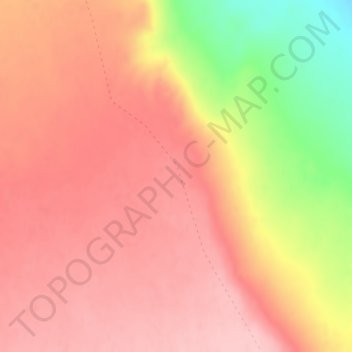
Name: 盆地边2 topographic map, elevation, terrain.
Location: 盆地边2, 鄯善县, 吐鲁番市, 新疆维吾尔自治区, 中国 (42.58276 90.98342 42.60276 91.00342)
Average elevation: 658 m
Minimum elevation: 543 m
Maximum elevation: 711 m
Other topographic maps
Click on a map to view its topography, its elevation and its terrain.