
Wilson topographic map
Interactive map
Click on the map to display elevation.
About this map
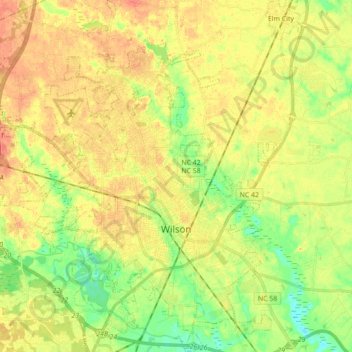
Name: Wilson topographic map, elevation, terrain.
Location: Wilson, Wilson County, North Carolina, United States (35.67165 -78.04014 35.81386 -77.86561)
Average elevation: 41 m
Minimum elevation: 18 m
Maximum elevation: 58 m