
Namlea topographic map
Interactive map
Click on the map to display elevation.
About this map
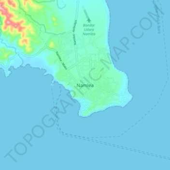
Name: Namlea topographic map, elevation, terrain.
Location: Namlea, Buru, Moluccas, Indonesia (-3.30947 127.05924 -3.22947 127.13924)
Average elevation: 13 m
Minimum elevation: 0 m
Maximum elevation: 182 m