
Renk topographic map
Interactive map
Click on the map to display elevation.
About this map
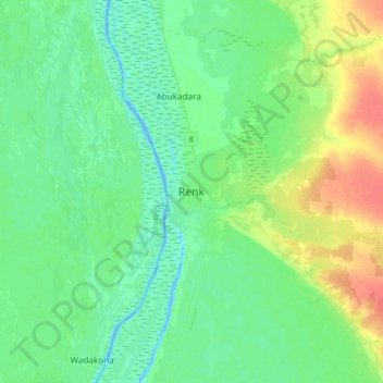
Name: Renk topographic map, elevation, terrain.
Location: Renk, Upper Nile, South Sudan (11.59194 32.64877 11.91194 32.96877)
Average elevation: 391 m
Minimum elevation: 380 m
Maximum elevation: 418 m