
Thank you for supporting this site ❤️
Make a donation
Make a donation
Gear up for your next adventure:
As an Amazon Associate, this site earns from qualifying purchases at no extra cost to you.
Rocker topographic map
Click on the map to display elevation.
Thank you for supporting this site ❤️
Make a donation
Make a donation
Gear up for your next adventure:
As an Amazon Associate, this site earns from qualifying purchases at no extra cost to you.
About this map
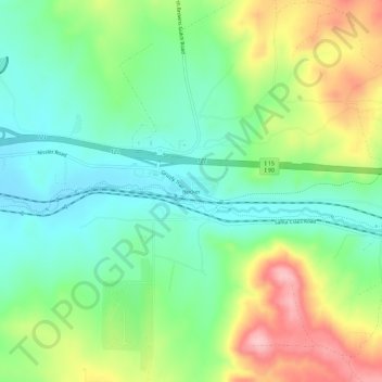
Name: Rocker topographic map, elevation, terrain.
Location: Rocker, Butte, Silver Bow County, Montana, United States (45.98326 -112.62614 46.02326 -112.58614)
Average elevation: 1,689 m
Minimum elevation: 1,631 m
Maximum elevation: 1,792 m
Thank you for supporting this site ❤️
Make a donation
Make a donation
Gear up for your next adventure:
As an Amazon Associate, this site earns from qualifying purchases at no extra cost to you.