
Thank you for supporting this site ❤️
Make a donation
Make a donation
Gear up for your next adventure:
As an Amazon Associate, this site earns from qualifying purchases at no extra cost to you.
Comagascas topographic map
Click on the map to display elevation.
Thank you for supporting this site ❤️
Make a donation
Make a donation
Gear up for your next adventure:
As an Amazon Associate, this site earns from qualifying purchases at no extra cost to you.
About this map
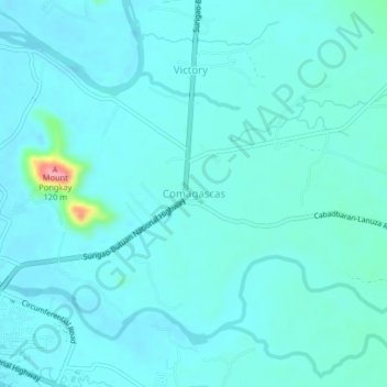
Name: Comagascas topographic map, elevation, terrain.
Location: Comagascas, Agusan del Norte, Caraga, 8605, Philippines (9.11572 125.53991 9.15572 125.57991)
Average elevation: 18 m
Minimum elevation: 4 m
Maximum elevation: 119 m
Thank you for supporting this site ❤️
Make a donation
Make a donation
Gear up for your next adventure:
As an Amazon Associate, this site earns from qualifying purchases at no extra cost to you.