
Estellencs topographic map
Interactive map
Click on the map to display elevation.
About this map
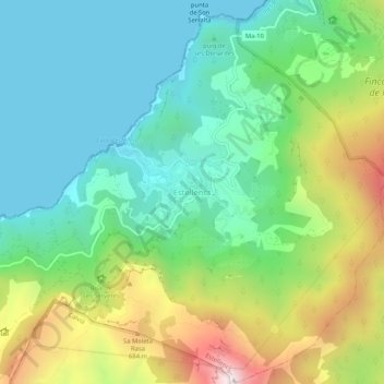
Name: Estellencs topographic map, elevation, terrain.
Location: Estellencs, Serra de Tramuntana, Îles Baléares, 07192, Espagne (39.63351 2.46103 39.67351 2.50103)
Average elevation: 321 m
Minimum elevation: -1 m
Maximum elevation: 1,019 m