
Paneče topographic map
Interactive map
Click on the map to display elevation.
About this map
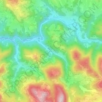
Name: Paneče topographic map, elevation, terrain.
Location: Paneče, Laško, Slovénie (46.08209 15.24133 46.12209 15.28133)
Average elevation: 421 m
Minimum elevation: 220 m
Maximum elevation: 742 m